
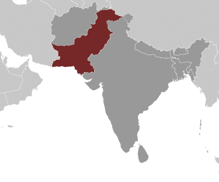
The Islamic Republic of Pakistan emerged on the map of the world as an independent sovereign state on 14th August 1947, as a result of the division of the former British India. Located in South Asia, Pakistan shares an eastern border with India and a north-eastern border with China. Iran makes up the country’s south-west border, and Afghanistan runs along its western and northern edge. The Arabian Sea lies along Pakistan’s southern boundary.
Pakistan displays some of Asia’s most magnificent landscapes as it stretches from the Arabian Sea, its southern border, to some of the world’s most spectacular mountain ranges in the north. Pakistan is also home to sites that date back to the world’s earliest settlements rivaling those of ancient Egypt and Mesopotamia.
The total population of Pakistan is 252.3 million (2024 est. according to cia.gov). Pakistan is divided into four provinces; Sindh, Punjab, North West Frontier Province, and Balochistan. The country is comprised of a vast area that was a great center of ancient civilizations of the world. Its historical sites, beginning with stone-age to twentieth century A.D. are a mirror of the life of its peoples who are by nature simple, virile, hospitable, and hard working. Ancient sites excavated in Taxila, Harappa, and Mohenjodaro speak volumes about Pakistan’s rich cultural background, dating back to 3,000 B.C. – with some sites such as Mehrgarh dating as far back as 8,000 B.C.
The country has a total area of 796,095 sq km and is nearly four times the size of the United Kingdom.
More about Pakistan: